Gage Level Readings
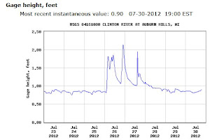
GAGE Level Reading Interpretations (Opinions based on experience) (Taken from a post under "Where to Paddle" but wanted the level info to be easier to find) Here is the link to the gage followed by an example of what you will see on the site: http://waterdata.usgs.gov/mi/nwis/uv/?site_no=04161000&PARAmeter_cd=00065,00060 Most of our experience on the gage readings are for the Avon & Livernois (Eagles Landing) to Yates run, off hand here are some guidelines, they pretty much apply to most of the upper river runs down to Van Dyke: 1.0 - 1.25 Low level runs, A LOT of scraping on rocks and sandbars, technical because you have to follow a narrow channel (Many consider these levels too low to paddle, no fun! You can hike it!) 1.3 - 1.5 Medium level runs, should not scrape too much if any, 'advanced beginner' level and it can be a bit towards 'intermediate'when you hit a solid 1.5 on the gage. (Many consider 1.3 the lowest for the A&...